Wallingford to Purley
Friday 14 April 2017
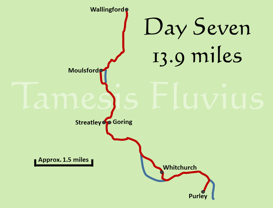
Our first week of walking came to an end on the Good Friday Bank holiday and took us very nearly to the half-way mark in terms of miles covered. The day also marked perhaps the last stage which could be described as 'rural', as this section passes through some of the most pleasant scenery on the entire route. This comes as the path reaches the 'Goring Gap', where long ago the Thames burst through chalk hills to settle into its present course and create a much narrower and steeper-sided valley with the North Wessex Downs on one side and the Chiltern Hills on the other.
Another day where the route runs largely from north to south, this was again a longer than average day for us, with the journey from Wallingford taking us right to the outskirts of Reading, the largest settlement on the route outside of London. This stage of the route brought a couple of sections away from the river, including the toughest uphill walking of the entire route which unfortunately came towards the end of the day as tiredness was already beginning to set in!
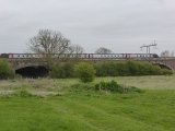
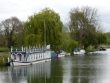
The day began away from the river, heading south through Wallingford and cutting through an alley alongside St Leonard's Church to return us to the Thames. Passing by large boathouses and through the end of several private gardens, we were joined along this first part of the route by a considerable number of rowers and canoeists, taking advantage of another straight section of river which is perfect for those smaller boats. With fewer villages alongside the Thames, most of the buildings that we passed by in the first few miles were pill boxes until we reached the railway bridge near to Moulsford, at which point the path heads away from the river and into the village.
Walking between a number of sports pitches, we came to the A329 road which runs through Moulsford and joined it for almost three quarters of a mile trekking along the pavement. Just before the southern end of the village, the Thames Path heads back towards the river and picks it up again alongside the Beetle and Wedge restaurant. We stopped briefly there as there was Good Friday market being held alongside the restaurant, with a considerable range of local produce for sale. We decided to move on to a quieter spot before taking a break, heading into Berkshire for the first time and stopping for a short rest before continuing on towards the twin villages of Goring and Streatley.
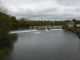
Passing South Stoke on the opposite bank, the path remains alongside the river until Goring Lock begins to come into view, before turning to the right and diverting through the trees to emerge next to St Mary's Church in Streatley. Goring and Streatley lie on opposite banks of the river and are in different counties, but to a large extent operate as one village and are joined by a bridge which crosses an island in between two parts of the weir. We headed across the bridge to Goring and back into Oxfordshire, with the hills that form the Goring Gap now in evidence on both banks of the river. Looking for somewhere to stop for lunch, we found a perfectly placed bench just before the path headed under the railway line for the second time in the day.
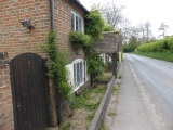
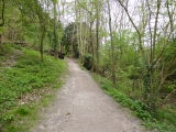
After we had eaten, we continued under the railway and soon came to the next point at which we had to turn away from the Thames, just before the old ferryman's cottage near Gatehampton farm. Continuing along the Hartslock Bridleway, the Thames is not far away along this stretch but is frequently hidden from view by the trees, which gradually thicken as the path enters Hartslock Wood. It is here that the steepest uphill stretch of the entire route begins, as three separate climbs through the woods took us high above the river. Having reached the highest point, we stopped for another rest only to be faced with a very steep downhill path and another significant climb before the final approach towards Whitchurch.
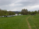
The bridleway took us between several farm buildings before joining up with the B471 as it heads down into the village of Whitchurch towards the river. After breaking away from the road to pass through the grounds of St Mary's Church, the path crosses the river via the toll bridge at Whitchurch, which charges 60p for cars to cross but thankfully nothing for walkers! Moving back into Berkshire, we arrived in Pangbourne which lies on the opposite bank to Whitchurch. Rather than heading into Pangbourne, the path heads around the open space of Pangbourne Meadow which on the afternoon of a public holiday was full of people despite overcast weather.
Despite being very close to the outskirts of Reading, this final stretch would feel very rural if it were not for the large number of fellow walkers and the clear views of the railway line and its overhead power cables. After passing by Hardwick House on the opposite bank, which is rumoured to have been the inspiration for illustrations of Toad Hall in The Wind in the Willows, we came to Mapledurham Lock which was our last sight of the Thames for the day. Leaving the river behind us, we arrived at a housing estate in Purley. We were due to be spending the night at the Ibis hotel in Reading and fortunately Purley lies at the other end of a bus route which runs right past the hotel. After just a few minutes' wait, the bus arrived and took us into Reading and our accommodation.


